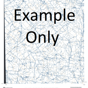
GA 8752 – Mount Bluffkin Online Hot Sale
- Estimated Delivery : Up to 4 business days
- Free Shipping & Returns : On all orders over $200
This Topographic Map is produced by Geoscience Australia; Australia s national geospatial organisation.
GA topographic maps (many of which are produced in partnership with the Army) are generally older than those maps produced by the State Governments over the same area. This makes GA maps particularly useful for identifying historic features, such as old mines and diggings.
Geoscience Australia maps generally considered to be more pleasing in design and compilation then the more modern State Government productions.
At this scale, 1cm on this map represents 1km on the ground. A standard map (which is square) covers an area of approximately 54km by 54km, with a contour interval of 20m. This map contains natural and constructed features including road and rail infrastructure, vegetation, hydrography, contours, localities and some administrative boundaries.
Please note the date of the map, as this will impact the currency of information, particularly regarding infrastructure, roads, etc.
Barmount Falcon Downs Burwood Old Yatton Moanna Clarkwoods Yatton Steinheim Longacre Stockyard Creek Clive Manly Merion Junee Coreen Tartarus Battery Plain Bellarine Creek Mount Bluffkin Bora Creek Mount Bora Bottletree Creek Broadsound Range Mount Buffalo Campbell Range Clarke Creek Clenents Creek Clive Creek Clive Gully Connors River Coppermine Creek Crooked Creek Eblana Gilnorchie Creek Gilnorchie Peak Grass Hut Gully Graves Gully Honeycomb Creek Horse Creek Ironpot Creek Isaac River Mount Joss Junee Creek Mount Larry Mount Lorne Macksford Macksford Creek Macksford Waterhole Lake Mary May Downs Waterhole Lake McDonald Mount McKenzie Mount Michael Mundi Creek Mount Mysie Neebie Parkinzonia Gully Pink Lily Lagoon Plumtree Creek Pomegranite Creek Rocky Peak Rolf Creek Roper Ross Creek Saddlebag Creek Sarsfield Mount Sarsfield Sprancis Gully Spring Creek St George Waterhole Two Mile Creek Ungle Waterhole Yatton Creek May Downs Creek Rocky Mountains Isaacs River
| Title | Paper, Laminated |
|---|

