GA 8648 – Warrinilla Hot on Sale
- Estimated Delivery : Up to 4 business days
- Free Shipping & Returns : On all orders over $200
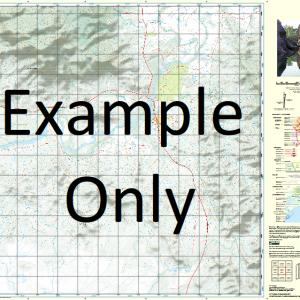
This Topographic Map is produced by Geoscience Australia; Australia s national geospatial organisation.
GA topographic maps (many of which are produced in partnership with the Army) are generally older than those maps produced by the State Governments over the same area. This makes GA maps particularly useful for identifying historic features, such as old mines and diggings.
Geoscience Australia maps generally considered to be more pleasing in design and compilation then the more modern State Government productions.
At this scale, 1cm on this map represents 1km on the ground. A standard map (which is square) covers an area of approximately 54km by 54km, with a contour interval of 20m. This map contains natural and constructed features including road and rail infrastructure, vegetation, hydrography, contours, localities and some administrative boundaries.
Please note the date of the map, as this will impact the currency of information, particularly regarding infrastructure, roads, etc.
Planet Downs Purbrook Warrinilla Wyseby Aggravation Creek East Branch Aggravation Creek West Branch Aggravation Waterhole Basalt Creek Bastion Creek Blank Creek Bogarella Creek Bogarella Lagoon Bridge Creek Brodie Brown River Lake Brown Carnarvon Creek Mount Ceres Charcoal Creek Charters Creek Christmas Creek Clarkes Lagoon Clematis Creek Consuelo Consuelo Creek Corella Creek Crescent Creek Deep Creek Fantail Creek Foot Four Mile Swamp Glenidal Ironbark Creek Jack Creek Mount Kirk Kongabula Range Lily Lagoon Logan Pass May Creek Meeks Lookout Moolayember Creek Moonzie Native Dog Creek October Creek October Swamp Pallas Pallas Water Facility Mount Panorama Peawaddy Creek Pink Lily Lagoon Planet Seventree Creek Nuga Nuga National Park Tommies Creek Vesta Wangalee Creek Mount Warrinilla Warrol Water Facility Wild Horse Swamp Willies Gully Yellowbelly Creek Coorumbene Rolleston Gas Field Aggravation Creek Morella Creek
| Title | Paper, Laminated |
|---|
Related products
-
QLD 6557 Online Sale
$12.50 -
QLD 6560 For Cheap
$12.50 -
QLD 6559 Discount
$12.50 -
QLD 6551 Supply
$12.50 -
QLD 6554 Discount
$12.50