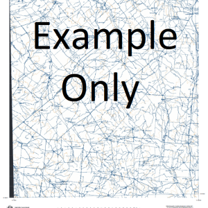
GA 8628-1 – Rye Park For Cheap
- Estimated Delivery : Up to 4 business days
- Free Shipping & Returns : On all orders over $200
This Topographic Map is produced by Geoscience Australia; Australia s national geospatial organisation.
GA topographic maps (many of which are produced in partnership with the Army) are generally older than those maps produced by the State Governments over the same area. This makes GA maps particularly useful for identifying historic features, such as old mines and diggings.
Geoscience Australia maps generally considered to be more pleasing in design and compilation then the more modern State Government productions.
At this scale, 2cm on this map represents 1km on the ground. A standard map (which is square) covers an area of approximately about 25km by 25km, with a contour interval of 10m. This map contains natural and constructed features including road and rail infrastructure, vegetation, hydrography, contours, localities and some administrative boundaries.
Please note the date of the map, as this will impact the currency of information, particularly regarding infrastructure, roads, etc.
Back Creek The Bald Hill Bald Hill Bango Bango State Forest Bank Creek Barlows Creek Bendenine Besnard Bobbys Creek Bobbys Hill Bobby Blakney Creek Blakney Blakeney Bowning Bowning Creek Branch of Derringullen Creek Browns Creek Buffalo Buffalo Flat Mount Buffalo Corumgaroo Costelloes Creek Crosby Crosby Creek Derringullen Derringullen Creek Fat Jack Creek Flakeney Creek Forest Gallop Creek Gododo Grogans Creek Gwynne Hassalls Creek Hawkins Hume Mount Hume Illalong Mount Joey Kangiara Kangiara Creek Crosbie Creek Gurran Creek Head of Blakney Creek Lagoon Creek Langs Creek Leatherjacket Limestone Creek Little Razorback Luke Ryans Creek Mallyon Millers Creek Mistake Creek Nunick Nunick Creek Oaky Hill Olney Opton Pig Hill Pudman Creek Quamba Creek Quamba Gully Red Hill Reedy Creek Reedy Gully Rocky Creek Ryans Creek Rye Park Rye Park Public School Savages Creek Sawpit Creek Sinai Sinai Hill Snowden Spring Creek Taffs Hill Tangmangaroo Taunton Thieves Creek Throsbys Branch of Kangiara Creek Throsbys Creek Turkey Hill Two Mile Creek Urumwalla Creek Vernon Dry Creek Dirt Hole Creek Left Arm Creek Queens Hill Buffalo Flat Creek Laverstock Vandeville Kiangra Creek Foxwell Tangmanjaroo Avondale
| Title | Paper, Laminated |
|---|

