GA 8543 – Struan Hot on Sale
- Estimated Delivery : Up to 4 business days
- Free Shipping & Returns : On all orders over $200
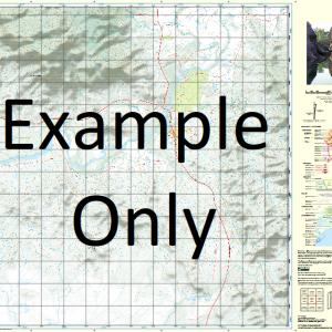
This Topographic Map is produced by Geoscience Australia; Australia s national geospatial organisation.
GA topographic maps (many of which are produced in partnership with the Army) are generally older than those maps produced by the State Governments over the same area. This makes GA maps particularly useful for identifying historic features, such as old mines and diggings.
Geoscience Australia maps generally considered to be more pleasing in design and compilation then the more modern State Government productions.
At this scale, 1cm on this map represents 1km on the ground. A standard map (which is square) covers an area of approximately 54km by 54km, with a contour interval of 20m. This map contains natural and constructed features including road and rail infrastructure, vegetation, hydrography, contours, localities and some administrative boundaries.
Please note the date of the map, as this will impact the currency of information, particularly regarding infrastructure, roads, etc.
Boondarra North Quibet Tarmoola Teeswater Avalon Tocal Balford Budgeri Foyleview Stirling Albany Downs Drumfern Tartulla Tamanick Myolla Naldera Dueidar Struan Coolibah Araby Myong Woodlands Noogilla Wahcumba Drysdale Ponds Araluen The Overflow Glencoe Gowrie Siwa Perwell Surprise Hillsborough Begonia Maronga Cogoon Duck Creek Goggs Hoolah Hoolah Creek Hopeland Junee Creek Little Tartulla Creek Montpelier Murphys Lagoon Ten Mile Waterhole The Chinamans Waterhole Wahucumbah Water Facility Washpool Lagoon Dunkeld Foyle View Purwell
| Title | Paper, Laminated |
|---|
Related products
-
QLD 6648 Online Sale
$12.50 -
QLD 6549 Hot on Sale
$12.50 -
QLD 6553 For Discount
$12.50 -
QLD 6554 Discount
$12.50