GA 8239 – Weilmoringle Online Hot Sale
- Estimated Delivery : Up to 4 business days
- Free Shipping & Returns : On all orders over $200
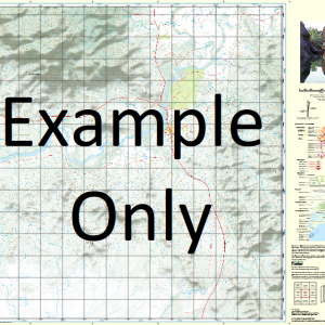
This Topographic Map is produced by Geoscience Australia; Australia s national geospatial organisation.
GA topographic maps (many of which are produced in partnership with the Army) are generally older than those maps produced by the State Governments over the same area. This makes GA maps particularly useful for identifying historic features, such as old mines and diggings.
Geoscience Australia maps generally considered to be more pleasing in design and compilation then the more modern State Government productions.
At this scale, 1cm on this map represents 1km on the ground. A standard map (which is square) covers an area of approximately 54km by 54km, with a contour interval of 20m. This map contains natural and constructed features including road and rail infrastructure, vegetation, hydrography, contours, localities and some administrative boundaries.
Please note the date of the map, as this will impact the currency of information, particularly regarding infrastructure, roads, etc.
Toulby Widgee Downs Brooksville Waggan Kahmoo Burban Grange Glenora Kulkyne Bourkes Tank Orana Burbar Weilmoringle Bullabelalie Whyman Noorooma Narrawandi Bukulla Woolahra Caringle Urie Point Baringa Maylands Boolaboo Cartlands Bora Boneda Taralba Paisley Bickerjerry Creek Bough Bow Creek Brumby Waterhole Coolabah Creek Gooroomero Spring Jobs Gate Johns Creek Marion Flats Minbera Plain Mungulah Creek Munguryania Waterhole Nebine Creek Nimbera Plain Pickerjerry Creek Tooloomai Spring Tooloomi Spring Toulby Gate Toulby Gate Bore Weilmoringle Public School Widgeegoara Creek Diemunga Lagoon Burban Creek Burbar Creek Sandy Springs Booroominia Diemunga Keats Morton Plains Mudelooromun Tatala Tawaggan Yamby Gidgier Konowogan Linchiden Nardoo Papperton Waroma Yarkieta Payera Yamby West Flats of Widgeegoara Creek Nebie Creek Glenalbyn Cartland
| Title | Paper, Laminated |
|---|
Related products
-
QLD 6647 Sale
$12.50 -
QLD 6552 on Sale
$12.50 -
QLD 6648 Online Sale
$12.50 -
QLD 6558 Fashion
$12.50