GA 8132 – Kilparney Online Sale
- Estimated Delivery : Up to 4 business days
- Free Shipping & Returns : On all orders over $200
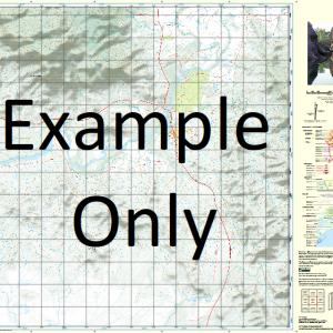
This Topographic Map is produced by Geoscience Australia; Australia s national geospatial organisation.
GA topographic maps (many of which are produced in partnership with the Army) are generally older than those maps produced by the State Governments over the same area. This makes GA maps particularly useful for identifying historic features, such as old mines and diggings.
Geoscience Australia maps generally considered to be more pleasing in design and compilation then the more modern State Government productions.
At this scale, 1cm on this map represents 1km on the ground. A standard map (which is square) covers an area of approximately 54km by 54km, with a contour interval of 20m. This map contains natural and constructed features including road and rail infrastructure, vegetation, hydrography, contours, localities and some administrative boundaries.
Please note the date of the map, as this will impact the currency of information, particularly regarding infrastructure, roads, etc.
Wirchilleba Wilkerboon Burthong Tara Marobee Pine Ridge Black Range Currawalla Redluom Yarambie Bogolo Illewong Penshurst Yara Cookapie Tank Whoey Tank Plains Tank Parkers Tank Burthong Dam Mans Tank Byrnes Tank South Sledges Tank Horse Paddock Tank Bumalong Tank West Warrowie Tank Smiths Tank Mountain Dam Gap Tank Giles Tank Tara Tank Rocky Tank Naddens Tank Tonys Dam Double Tank Red Tank Dine Dine Tank Arnotts Tank Moora Tank Walters Range Tank The Muggie Waterhole Walters Range Me Boothumble Bogalo Bogalo South Bundure Burthong South Cobram Creamy Hills Currawallah Guapa Guapa West Illewong West Meldior Moora Mulga Tara South Walla Wollong Yara East Bundure South Allens Tank Little Black Tank Marobee Creek Eremerang Urambie The Round Hill Marobee Dam Whites Tank Werchilleba Marobee Range Bogalo Range Bogalo Hill Urambee North Euabalong North Euabalong Station Mount Boorithumble Boorathumbila Mountain Creamy Hill New South Wales State of New South Wales
| Title | Paper, Laminated |
|---|
Related products
-
QLD 6560 For Cheap
$12.50 -
QLD 6554 Discount
$12.50 -
QLD 6562 Sale
$12.50 -
QLD 6548 For Cheap
$12.50