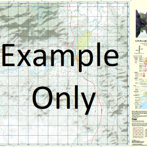
GA 7862 – Bullock Creek Discount
- Estimated Delivery : Up to 4 business days
- Free Shipping & Returns : On all orders over $200
This Topographic Map is produced by Geoscience Australia; Australia s national geospatial organisation.
GA topographic maps (many of which are produced in partnership with the Army) are generally older than those maps produced by the State Governments over the same area. This makes GA maps particularly useful for identifying historic features, such as old mines and diggings.
Geoscience Australia maps generally considered to be more pleasing in design and compilation then the more modern State Government productions.
At this scale, 1cm on this map represents 1km on the ground. A standard map (which is square) covers an area of approximately 54km by 54km, with a contour interval of 20m. This map contains natural and constructed features including road and rail infrastructure, vegetation, hydrography, contours, localities and some administrative boundaries.
Please note the date of the map, as this will impact the currency of information, particularly regarding infrastructure, roads, etc.
Sundown Ardrossan Mount Baldick Ballast Creek Barwidgi Mount Bear Bills Creek Bird Spring Blackbull Creek Bluebush Creek Bob Creek Branch Creek Mount Bridge Brookers Waterhole Brumby Creek Bullock Creek California California Creek Campbell Creek Mount Cardwell Claret Creek Colac Creek Crooked Creek Dam Creek Devils Waterhole Dicky Hill Dingo Creek Double Barrel Creek Emerson Five Mile Creek Four Mile Creek Frog Hollow Creek Fullerton Creek Mount Garling Gelaro Gibraltar Creek Gingerla Granite Creek Graves Pinnacle Gyp Swamp Creek Hayes Creek Horse Swamp Creek Junevale Mount Kallon Kulugna Lily Creek Mount Luxton Lynd Macks Range Martin Creek Mero Creek Minnemore Creek Mount Mist Mountain Camp Hills Mulligan Creek Munderra Nobbs Creek Oaks Ord Packers Creek Packsaddle Creek Paddy Spring Creek Mount Petty Pine Creek Pretty Swamp Mount Pudding Basin Rattler Creek Rices Creek Robs Range Rock Hole Rocky Whistler Creek Saltcoats Saucebottle Swamp Sawpit Creek Single Barrel Creek Six Mile Creek Six Mile Knob Soda Creek Soda Spring Sugarbag Spring Sundown Creek Swamp Creek Table Creek Teddy Creek The Gorge The Pinnacles Ubidam Creek Wandoo Creek Wandoo Hill Wet Creek Yard Creek Opah Woepen Forty Mile Springfield Tablelands Regional Council Sandy Tate River Halpin Creek Spinifex Creek Koorboora Creek Gurrumbah Gurrumba Gilmore Gilmore Mine Emmerson Sundown Outstation Sugarbag Yards
| Title | Paper, Laminated |
|---|

