GA 8952-2 – The Oaks Online Hot Sale
- Estimated Delivery : Up to 4 business days
- Free Shipping & Returns : On all orders over $200
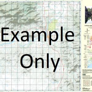
This Topographic Map is produced by Geoscience Australia; Australia s national geospatial organisation.
GA topographic maps (many of which are produced in partnership with the Army) are generally older than those maps produced by the State Governments over the same area. This makes GA maps particularly useful for identifying historic features, such as old mines and diggings.
Geoscience Australia maps generally considered to be more pleasing in design and compilation then the more modern State Government productions.
At this scale, 2cm on this map represents 1km on the ground. A standard map (which is square) covers an area of approximately about 25km by 25km, with a contour interval of 10m. This map contains natural and constructed features including road and rail infrastructure, vegetation, hydrography, contours, localities and some administrative boundaries.
Please note the date of the map, as this will impact the currency of information, particularly regarding infrastructure, roads, etc.
The Plains Spring Valley Goodnomda The Glen Montait The Springs Hillview Balmoral Boomerang Creek Camp Waterhole Canal Creek Canoona Charley Peak Conical Mountain Costa Creek Doonside Duck Holes East Branch Creek Gilgrea Creek Lake Graham Hedlow Creek Jacks Crossing Mount Jardine Jordan Creek New Chum Creek North Pointer Oaky Creek Oldman Lagoon One Mile Lagoon Palm Tree Creek Pig Gully Polygon Creek Red Creek Sheland Creek Stony Creek The Gate Mountain The Green Swamp The Oaks The Pointer Mount Tilpal Wandilla Creek Water Hole Creek Werribee Werribee Creek Williams Lagoon North Pointer Conservation Park Herbert Creek Cana Creek
| Title | Paper, Laminated |
|---|
Related products
-
QLD 6562 Sale
$12.50 -
QLD 6559 Discount
$12.50 -
QLD 6557 Online Sale
$12.50 -
QLD 6554 Discount
$12.50 -
QLD 6548 For Cheap
$12.50