GA 3464-1 – Lombadina Hot on Sale
- Estimated Delivery : Up to 4 business days
- Free Shipping & Returns : On all orders over $200
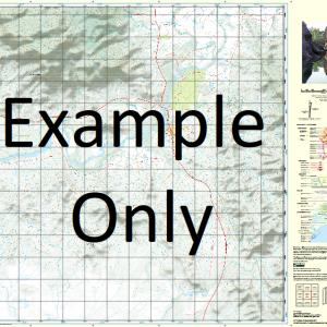
This Topographic Map is produced by Geoscience Australia; Australia s national geospatial organisation.
GA topographic maps (many of which are produced in partnership with the Army) are generally older than those maps produced by the State Governments over the same area. This makes GA maps particularly useful for identifying historic features, such as old mines and diggings.
Geoscience Australia maps generally considered to be more pleasing in design and compilation then the more modern State Government productions.
At this scale, 2cm on this map represents 1km on the ground. A standard map (which is square) covers an area of approximately about 25km by 25km, with a contour interval of 10m. This map contains natural and constructed features including road and rail infrastructure, vegetation, hydrography, contours, localities and some administrative boundaries.
Please note the date of the map, as this will impact the currency of information, particularly regarding infrastructure, roads, etc.
Lombadina Black Rod Rock Bronglo Well Buniol Community Bygnunn Community Chile Creek Chile Creek Community Chile Head Chunelarr Creek Cocky Well Cygnet Bay Djaradjung Community Djarindjin Community Djoodood Community Elephant Point Gallen Well Gilbut Creek Gurrbalgun Community Jambullana Well Julgnunn Community Lomat Well Lombadina Community Lombadina Creek Lombadina Mission Lombadina Point Loumard Community Martins Well Milligan Creek Mudnunn Community Nyilil Community Nyumwah Community Packer Island Pender Rumbul Bay Shag Rocks Steel Star Thomas Well Lombardina Mission Awong Rock Lombardina Gulf Lombardina Creek Cullen Well MacDonald Rock Lombardina Point Lomal Well Stone Hill Melligo Creek Jumbullanna Well Pender Bay
| Title | Paper, Laminated |
|---|
Related products
-
QLD 6562 Sale
$12.50 -
QLD 6554 Discount
$12.50 -
QLD 6549 Hot on Sale
$12.50 -
QLD 6560 For Cheap
$12.50