GA 8044 – Loddon For Sale
- Estimated Delivery : Up to 4 business days
- Free Shipping & Returns : On all orders over $200
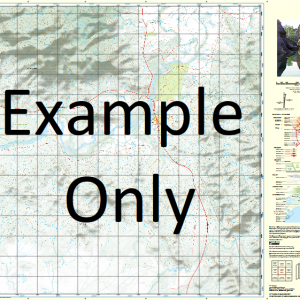
This Topographic Map is produced by Geoscience Australia; Australia s national geospatial organisation.
GA topographic maps (many of which are produced in partnership with the Army) are generally older than those maps produced by the State Governments over the same area. This makes GA maps particularly useful for identifying historic features, such as old mines and diggings.
Geoscience Australia maps generally considered to be more pleasing in design and compilation then the more modern State Government productions.
At this scale, 1cm on this map represents 1km on the ground. A standard map (which is square) covers an area of approximately 54km by 54km, with a contour interval of 20m. This map contains natural and constructed features including road and rail infrastructure, vegetation, hydrography, contours, localities and some administrative boundaries.
Please note the date of the map, as this will impact the currency of information, particularly regarding infrastructure, roads, etc.
Loddon Auburn Vale Coothalla Inkerman Mayfield Boin Riccartoon Barcudgel Weaner Creek Bodouna Cungella Merigol Blackburn Wooyenong Werrina Guestling Yallara Karoola Blacks Creek Blacks Water Facility Erac Erac Creek Gidya Creek Horne Hythe Lodden Merrigin Minitta Mumbooby Murweh Murweh Waterhole Nemunulla Swamp Nimaru Peterson Wanko Yarran Creek Yena Buckenby Cooladdi Auburn Vale Bore Dillalah Bore Nimaru Station Inkerman Creek Loddon Station Blacks Tank Myendetta Station Woodstock Bore Gungella Gungella Tank Spring Bank
| Title | Paper, Laminated |
|---|
Related products
-
QLD 6563 For Cheap
$12.50 -
QLD 6559 Discount
$12.50 -
QLD 6552 on Sale
$12.50 -
QLD 6549 Hot on Sale
$12.50 -
QLD 6550 Supply
$12.50