GA 8145 – Charleville Online Hot Sale
- Estimated Delivery : Up to 4 business days
- Free Shipping & Returns : On all orders over $200
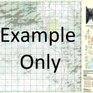
This Topographic Map is produced by Geoscience Australia; Australia s national geospatial organisation.
GA topographic maps (many of which are produced in partnership with the Army) are generally older than those maps produced by the State Governments over the same area. This makes GA maps particularly useful for identifying historic features, such as old mines and diggings.
Geoscience Australia maps generally considered to be more pleasing in design and compilation then the more modern State Government productions.
At this scale, 1cm on this map represents 1km on the ground. A standard map (which is square) covers an area of approximately 54km by 54km, with a contour interval of 20m. This map contains natural and constructed features including road and rail infrastructure, vegetation, hydrography, contours, localities and some administrative boundaries.
Please note the date of the map, as this will impact the currency of information, particularly regarding infrastructure, roads, etc.
Woolabra Calowrie Millie Helvetia Park ruins Wardsdale Lesdale Wardilla Spring Hill Arabella Oakpark Newholme Barradeen Combanning Molonga Yarrawonga Maxvale Rosewood Collaroy Thurlby Binga Minor Old Gowrie Canargo Cathys Garden Villa Mortlake Charleville Barduthulla Barduthulla Creek Barradeen Creek Blacks Creek Bradleys Gully Branch Creek C B Creek Carbeen Charleville Water Facility Cresswell Creek Gidya Creek Glengarry Glengarry Water Facility Gowrie Gowrie Crossing Gum Creek Harts Gully Kennedy Creek Langlo River Marrah Meecha Middle Creek Myall Creek Nive River Odo Querundi Sprys Crossing Tarrangella Two Mile Waterhole Winters Creek Woolshed Gully Gowrie Station C.B. Creek Oak Park Bore Newholme Bore Miegunyah Twenty-Seven Mile Waterhole Gowrie East Bore Duck Lagoon Millie Station Bore Gowrie West Bore Helvetia Park Lockwood Bore Yarrawonga Bore Lockwood Chesterfield Raceview Bore Glengarry Tank Racecourse Bore Arabella Station Wardilla Bore Hazelbush Vera Park
| Title | Paper, Laminated |
|---|
Related products
-
QLD 6550 Supply
$12.50 -
QLD 6549 Hot on Sale
$12.50 -
QLD 6548 For Cheap
$12.50 -
QLD 6557 Online Sale
$12.50