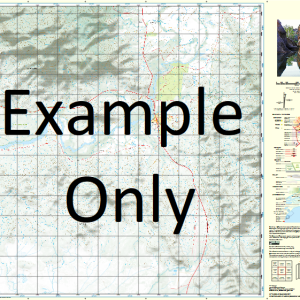
GA 7845 – Gumbardo Online
- Estimated Delivery : Up to 4 business days
- Free Shipping & Returns : On all orders over $200
This Topographic Map is produced by Geoscience Australia; Australia s national geospatial organisation.
GA topographic maps (many of which are produced in partnership with the Army) are generally older than those maps produced by the State Governments over the same area. This makes GA maps particularly useful for identifying historic features, such as old mines and diggings.
Geoscience Australia maps generally considered to be more pleasing in design and compilation then the more modern State Government productions.
At this scale, 1cm on this map represents 1km on the ground. A standard map (which is square) covers an area of approximately 54km by 54km, with a contour interval of 20m. This map contains natural and constructed features including road and rail infrastructure, vegetation, hydrography, contours, localities and some administrative boundaries.
Please note the date of the map, as this will impact the currency of information, particularly regarding infrastructure, roads, etc.
Gumbardo Mogera Granville Mona Vale Grenfield Pingine Paradise Park Wade Hill Corona abandoned Beltram Park abandoned Plain Grove abandoned Lochabie Moble Springs Beltram Colac Crow Creek Derremut Eldridge Creek Emu Creek King Creek King Creek South Branch Mogera Creek Stony Creek Tomahawk Creek Trunkiana Creek Weegellah Winbin Creek South Branch Yahparaba Yesaba Zetland Eldridges Paddock Bore Stella Vale South Branch King Creek Bobs Tank Glencoe Strachans Tank Knights Tank Coffin Tank Trunkiana Tank White Tank Sandy Creek Winbin Bore Tomahawk Tank Plain Grove Beltram Park Corona Winbin Tank South Branch Winbin Creek Romani Pingine Waterhole Willie Creek Bore Willies Creek Bore Crow Bore Willie Creek
| Title | Paper, Laminated |
|---|

