GA 7943 – Humeburn on Sale
- Estimated Delivery : Up to 4 business days
- Free Shipping & Returns : On all orders over $200
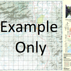
This Topographic Map is produced by Geoscience Australia; Australia s national geospatial organisation.
GA topographic maps (many of which are produced in partnership with the Army) are generally older than those maps produced by the State Governments over the same area. This makes GA maps particularly useful for identifying historic features, such as old mines and diggings.
Geoscience Australia maps generally considered to be more pleasing in design and compilation then the more modern State Government productions.
At this scale, 1cm on this map represents 1km on the ground. A standard map (which is square) covers an area of approximately 54km by 54km, with a contour interval of 20m. This map contains natural and constructed features including road and rail infrastructure, vegetation, hydrography, contours, localities and some administrative boundaries.
Please note the date of the map, as this will impact the currency of information, particularly regarding infrastructure, roads, etc.
Nooma Doobibla Quilpeta Mount Alfred Brigalow Spring Creek Aldville Come by Chance Humeburn Mount Anderson Mount Arthur Mount Banco Beal Bluff Beechal Beechal Creek Mount Bowen Box Gully Buckenby Creek Buckenby Waterhole Bull Grey Creek Buthana Creek Crooked Creek Doobibla Creek Eight Mile Creek Eugood Creek Fish Creek Gidya Creek Mount Gindighally Mount Googoolwaddy Got None Creek Gum Creek Gumby Creek Mount Harry Hawksnest Creek Hayes Creek Humeburn Creek Juanbong Kolpitta Waterhole Koroit Mannering Creek Mount Maria Mount Martin Middle Creek Moriarty Range Narraport Paroo Plain Creek Quandoan Creek Scots Creek Taroura Taroura Creek Wildcat Creek Yali Creek Yalyery Creek Tumblebury Creek Alfred Homestead
| Title | Paper, Laminated |
|---|
Related products
-
QLD 6560 For Cheap
$12.50 -
QLD 6550 Supply
$12.50 -
QLD 6559 Discount
$12.50 -
QLD 6647 Sale
$12.50